
Requesting A Call:
Loading

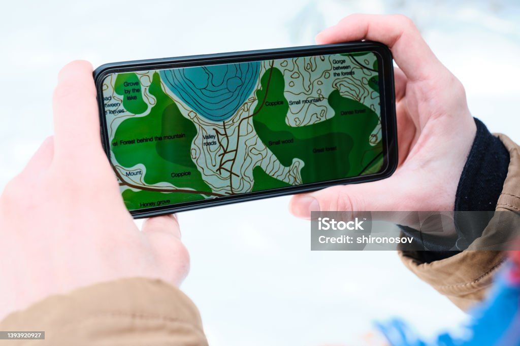
Our remote sensing services harness the power of satellite and aerial imagery to monitor, map, and analyze the Earth's surface with unmatched detail. We transform raw imagery into intelligence that supports planning, environmental monitoring, and risk management.
We specialize in extracting actionable information from multispectral, hyperspectral, and radar imagery to deliver insights across industries.
Unlock the power of satellite and aerial imagery to monitor environmental changes.